
Flying safely requires access to accurate and real-time weather information. Using the best apps for aviation weather tracking allows pilots to monitor METARs, TAFs, winds aloft, turbulence, and radar imagery directly on mobile devices. Whether you’re a student, private, or commercial pilot, leveraging these apps improves situational awareness, aids preflight planning, and ensures compliance with FAA regulations.
These tools range from integrated flight planning suites to specialized weather visualizers and METAR/TAF viewers, allowing pilots to make well-informed decisions and respond effectively to changing conditions.
Why Pilots Need Reliable Weather Tracking Apps
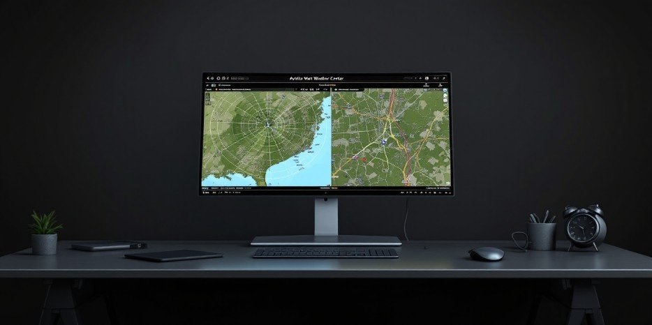
![]()
Aviation weather apps are crucial for:
- Preflight planning: Analyze forecasts and identify potential hazards.
- Situational awareness: Monitor weather changes en route.
- Safety and compliance: Meet FAA and local regulatory requirements.
Accurate weather tracking reduces risk, avoids unnecessary delays, and enhances flight confidence.
Features to Look for in Aviation Weather Apps
When choosing an app, ensure it includes:
- METARs & TAFs: Standard airport weather reports and forecasts.
- Radar & Satellite Imagery: Visualize precipitation, storms, and cloud cover.
- Winds Aloft: Direction and speed forecasts at various altitudes.
- Advisories: AIRMETs and SIGMETs for hazards like turbulence, icing, or thunderstorms.
- NOTAM integration: Information on temporary restrictions and hazards.
- Offline access: For areas with limited network coverage.
- Airport Information: Runway status, frequencies, and operational notes.
Top Apps for Aviation Weather Tracking

1. Comprehensive Flight Planning & EFB Suites
These apps integrate weather directly into navigation and flight planning.
- ForeFlight: Offers radar, satellite, icing, turbulence, winds aloft, and real-time ADS-B updates. Ideal for general aviation and professional pilots.
- Garmin Pilot: Integrated flight planning, charts, METARs, TAFs, and advanced radar. Works on iOS and Android, often paired with Garmin avionics.
- Aviation Weather Center (AWC): Official U.S. source for METARs, TAFs, SIGMETs, AIRMETs, and Graphical Forecasts for Aviation (GFA). Essential baseline for preflight briefings.
2. Specialized Weather Visualization Apps
These excel at high-resolution, global weather visualization.
- Windy.com: High-resolution animated maps for wind, temperature, clouds, and pressure. Uses ECMWF and GFS models. Great for visualizing cloud bases and winds.
- MyRadar: Fast radar loops with lightning and aviation layers, including AIRMETs, SIGMETs, and TFR overlays for in-flight awareness.
- RadarScope: Professional-level radar data including velocity and reflectivity for storm analysis. Popular among storm-chasing and advanced pilots.
3. Dedicated METAR/TAF & NOTAM Viewers
Focused on delivering airfield-specific, decoded weather and operational data.
- AeroWeather / Avia Weather: Quick access to METARs, TAFs, and airport info with color-coded VFR/IFR indicators.
- Airfield Watch: Provides real-time METAR, TAF, and NOTAM data with intuitive timeline views and severity filters.
Comparison Table of Aviation Weather Apps
| App Name | Platforms | Key Features | Best For | Pricing |
| ForeFlight | iOS | Integrated weather layers, ADS-B, charts | Private & Commercial | Subscription |
| Garmin Pilot | iOS/Android | Flight planning, METARs, radar | All pilots | Subscription |
| AeroWeather / Avia Weather | iOS/Android | METAR/TAF viewer, decoded | Students, GA pilots | Paid |
| Windy.com | iOS/Android | High-resolution global maps | Visual flight planning | Free/Premium |
| MyRadar | iOS/Android | Radar loops, lightning, aviation layers | Quick checks, in-flight | Free/Premium |
| RadarScope | iOS/Android | High-res radar, velocity, reflectivity | Advanced pilots | Paid |
| FltPlan Go | iOS/Android | Flight planning, charts, weather overlays | Private/Commercial | Free |
| NOAA AWC | Web | METAR, TAF, SIGMET, AIRMET | Regulatory reference | Free |
| Airfield Watch | iOS/Android | Real-time METAR/TAF/NOTAM | GA pilots | Paid |
Expert Tips for Using Aviation Weather Apps
- Combine multiple tools: Use AWC as official source, ForeFlight for planning, and MyRadar or Windy for real-time verification.
- Cross-check sources: Validate forecasts across apps for consistency.
- Use offline features: Download charts and METARs for areas with weak connectivity.
- Preflight and in-flight: Continuously monitor weather en route to adapt to changing conditions.
- Stay aware of regulations: Ensure apps provide FAA-compliant and updated information.
Frequently Asked Questions
1. Which aviation weather app is most accurate?
ForeFlight, Garmin Pilot, and NOAA AWC are highly reliable for professional and general aviation pilots.
2. Are there free aviation weather apps?
Yes, Windy, MyRadar, and NOAA AWC offer free versions suitable for student and recreational pilots.
3. Can I use these apps offline?
Yes, many apps like ForeFlight, Garmin Pilot, and AeroWeather provide offline access for charts and METARs.
4. Do these apps cover turbulence and winds aloft?
Yes, professional apps include turbulence forecasts and winds aloft for safe flight planning.
5. Are aviation weather apps suitable for student pilots?
Absolutely. Apps like WeatherSpork, AeroWeather, and Windy are beginner-friendly and help students interpret METARs, TAFs, and forecasts.
Conclusion
The best apps for aviation weather tracking combine official sources, comprehensive flight planning suites, and specialized visualization tools to ensure pilots have accurate, real-time, and actionable weather information. By using these apps consistently, pilots—from students to professionals—can enhance situational awareness, plan efficiently, and maintain safe, compliant flights. Integrating multiple apps into your routine ensures thorough preflight preparation and in-flight decision-making, keeping both pilots and passengers safe.


Leave a Reply